Hot and humid week ahead
MACON, Georgia (41NBC/WMGT) – The Bermuda High remains centered over the western Atlantic while another trough digs southward into the Lower Mississippi River Valley region. Warm


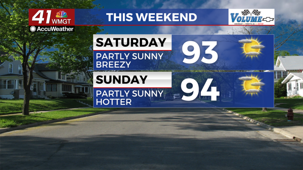
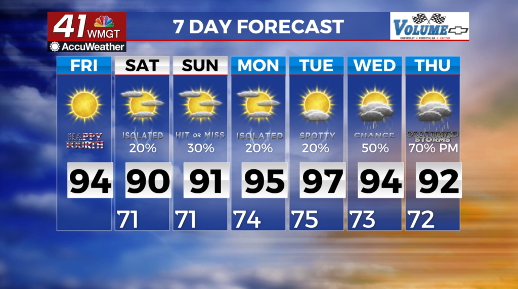
and moist southwesterly flow continues to overspread the region between these two features. Like the previous several days, dewpoints are in the low to mid 70s. Highs will rise into the low to mid 90s. Ample soil moisture from recent rainfall and slow storm motion will enhance the potential for localized flooding where heavier rain occurs. Patchy fog and low cloud ceilings are likely. Temperatures combined with dewpoints, will contribute to heat indices of 97-102 degrees in portions of Middle Georgia. This gradual warming trend will continue into the long forecast period. For Monday expect scattered to numerous diurnally-driven thunderstorms.


