Since Saturday, 1-3 inches of rain have already fallen in many places, and another 1-3 inches may fall on Monday. There may possibly be an extra 6 inches in some places.
8/4 6AM: Through this evening, a flood watch is still in force for the majority of north and central Georgia. It is predicted to rain between one and three inches, with localized totals as high as six inches.Keep an eye on the weather and keep in mind to “turn around, don’t drown” when you come across flooded roadways.GW94NGMBk3 #gawxpic.twitter.com
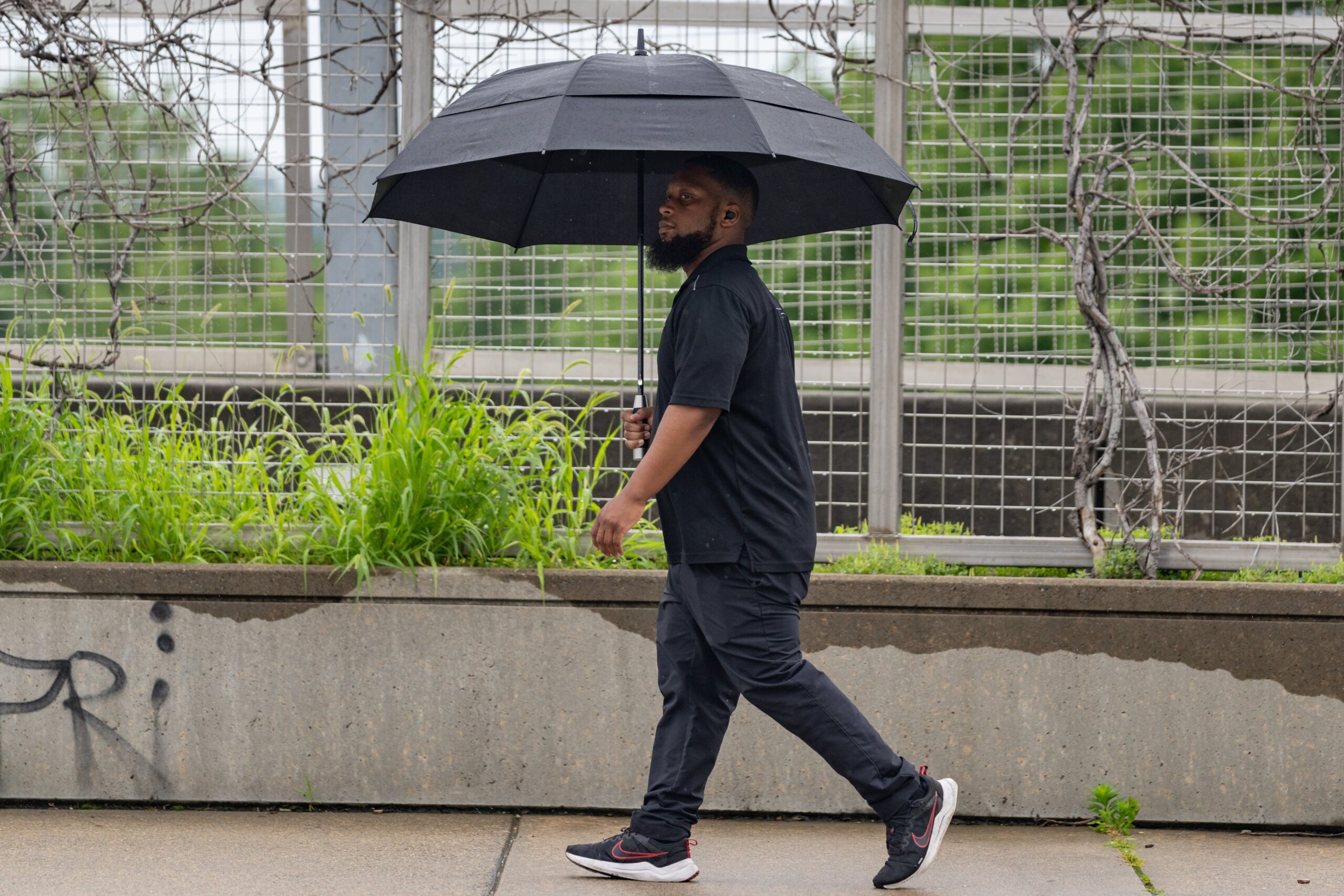
As the kids head to school, make sure they have a rain jacket and a sweater because the morning temps are in the mid-60s with sporadic rains. Classes in Clayton, Cobb, DeKalb, Fayette, Fulton, Gwinnett, and Rockdale county systems, as well as Atlanta Public Schools, begin on Monday.
As the day goes on, further showers are anticipated, and temperatures are not forecast to rise above 60 degrees.
According to Brian Monahan, a meteorologist with Channel 2 Action News, this is extremely rare weather for August. It might be the coolest day we’ve had in a dozen years.
The last time high temperatures in metro Atlanta remained below 70 degrees during the month was on August 17, 2013.
Monahan stated, “This gives you an idea of how rare this is.” This weather shift is crazy, isn’t it? from the intense heat we had only a week ago.
The city experienced its first 100-degree day of the year last week. Heat advisories were issued for a large portion of the state due to the high temperatures and excessive humidity, which resulted in heat indices of 105 degrees or higher.
Over the next few days, the cool trend is anticipated to continue. Forecasters predict that although temperatures will progressively rise each day, they will remain below average through at least next weekend.


