More storms possible this evening and overnight
MACON, Georgia (41NBN/WMGT) – Isolated storms will be possible around Middle Georgia this evening and overnight tonight.
This Evening


It’s been a warm and partly cloudy afternoon across Middle Georgia. Rain odds for the afternoon are not too high, however they will rise as the sun sets and beyond this evening. The best window for rain may not be until after midnight. A Level 1 “Marginal” risk for severe weather includes all of Middle Georgia as any storms that mature enough could bring a couple of damaging wind gusts.


Expect scattered clouds overhead tonight to go with the rain along with low temperatures in the upper 60s and lower 70s. Fog will be possible as the wind will be light and variable.
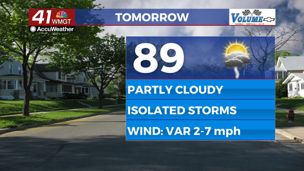
Tomorrow


Wednesday will be similar to Monday and Tuesday as partly cloudy skies are expected overall with temperatures that will climb into the upper 80s and lower 90s. Expect heat indexes to push into the mid to upper 90s in the hottest locations. Wind will be light and variable, offering little reprieve from the heat.


As for storms nothing severe is expected tomorrow at this time, however the afternoon and evening will likely see some isolated to scattered activity.


A few storms may linger into the overnight hours. Expect mostly cloudy skies with lows largely in the lower 70s. Wind will be gentle from the south. Fog will be possible leading up to Thursday morning.
Thursday and Beyond


Conditions may be a bit cloudier Thursday and to end the week, however there will still be ample heat with highs expected in the upper 80s and lower 90s. Isolated storms will also remain possible in the evening and overnight hours. Expect this pattern to continue into Father’s Day Weekend.

Follow Chief Meteorologist Aaron Lowery on Facebook (Aaron Lowery 41NBC) and Twitter (@ALowWX) for weather updates throughout the day. Also, you can watch his forecasts Monday through Friday on 41NBC News at 4, 5, 5:30, 6, and 11 p.m.


