Rain chances daily; severe storms possible Friday through Saturday
MACON, Georgia (41NBC/WMGT) – Showers and thunderstorms will be possible again tomorrow, as these will be focused more on the southern end of the viewing area as low pressure


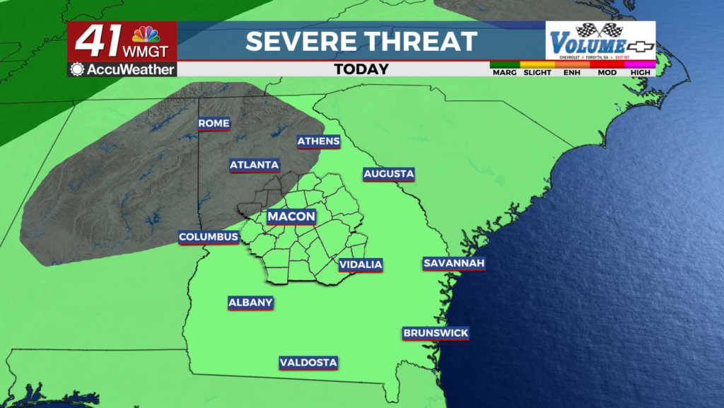
lifts north and east along the coast. Temperatures will be in the low to mid 80s and will gradually begin to increase again as we head into Friday. Moving into Friday, and the start of the weekend, the coastal low that brought us several days of patchy showers and thunderstorms will be making its way off the Eastern Seaboard. As a result, a portion of the day Friday is likely to be mostly dry, due to retreating moisture and zonal flow from a northern edge of a ridge. This reprieve is short-lived, as a shortwave joining in the flow will support the development of a convective system. It remains to be seen how this system is maintained as it approaches northwest Georgia beginning early evening Friday, however, the Storm Prediction Center has placed much of the northern half of the forecast region in a Slight (level 2 out of 5) Risk for the potential of severe weather. If a line of strong to severe storms picks its way through portions of the state overnight Friday into Saturday, the primary concerns would be isolated damaging wind gusts and large hail.


